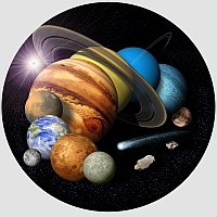
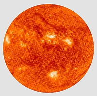
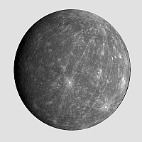
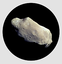
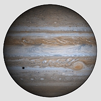
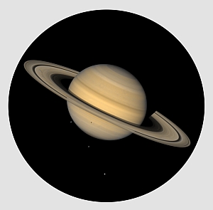
A core component of the University of New Brunswick Planetary and Space Science Centre is the Regional Planetary Image Facility (RPIF). This facility officially opened in March 2001. The Canadian RPIF is one of 16 RPIFs worldwide, 9 can be found in the United States with the remaining 7 across the world. The PASSC RPIF maintains a collection of data, images, maps, documents, etc., spanning NASA’s space exploration history. The facility provides outreach to the public, as well as one on one support to space scientists. The RPIF facilities work both individually, and as a network, in order to locate the information/data requested. For more details about the RPIF Network: The Lunar and Planetary Institute (LPI)’s RPIF website. If you like what you see, please Like/Share LPI's RPIF Network Facebook page! Contact the RPIF Data Manager for more information. Currently our data collection encompasses the following planets, satellites & solar bodies:
|
|||||||||||||||||||||||||||||
PASSC Director: John Spray
|
|||||||||||||||||||||||||||||